What Counts as Groceries: A Three-Layer Audit for Refugee Settlement Food Access
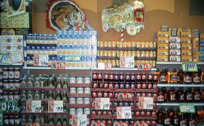
Photo: Gary Hoover, CC BY 4.0, via Wikimedia Commons
The Difference Between a Grocery Store and a Grocery Option
When food-access maps are used in refugee resettlement research, they often begin with a simple measure: distance to the nearest supermarket. The USDA Food Access Research Atlas has made that measure familiar and comparable across the country. But a household that has recently arrived may need food that is permitted by religious practice, familiar to children, and affordable within a tight budget. A supermarket can be close and still be unusable if it does not accept SNAP, if it stocks no halal meat, if signage and staff do not match the household's language, or if its hours do not overlap with shift work. Conversely, a small ethnic market may be the most usable outlet in a ZIP code and still be invisible to a supermarket-count map because it is not classified as a supermarket.
For Refugee Maps, this is not a semantic quibble. It is a mapping error with consequences. A settlement neighborhood can be marked food secure by a distance metric while residents organize rides to a halal butcher two ZIP codes away. The audit below is designed to catch that gap without pretending to measure household behavior directly.
Layer One: Baseline Access, With Its Limits Stated
Start with the official baseline. The USDA Food Access Research Atlas provides census-tract and ZIP-level indicators for low-income, low-access areas. Use the current release and record its vintage in the map metadata. Do not mix tract-level and ZIP-level geographies without saying so. For refugee settlement analysis, define the study area from a public, aggregated arrival count, typically ZIP-code-level resettlement data, and state the reporting period. Keep the arrival layer separate from the food layer; one describes where people have been placed, the other describes the retail environment they encounter.
Baseline access is useful because it is comparable and reproducible. It is also coarse. The atlas measures distance to supermarkets, not the presence of food a household can use. A ZIP code can contain a large supermarket and still have low usable access for a Somali, Afghan, Syrian, or Ukrainian household if the store's inventory, language environment, or payment options do not fit. The baseline should be the first panel in a small-multiple figure, not the final verdict.
Layer Two: SNAP-Authorized Retail as a Functionality Filter
The next layer narrows the retail universe to stores that can accept Supplemental Nutrition Assistance Program benefits. USDA publishes a SNAP retailer locator with store names, addresses, and authorization status. Use it to count SNAP-authorized outlets per 1,000 households, not per 10,000 residents; refugee households vary in size, and per-capita rates can mislead in small ZIP codes. Also calculate the share of SNAP-authorized outlets that are not supermarkets, including convenience stores, small grocers, and specialty markets, because those outlets may be more reachable but less able to support a full food basket.
This layer is a functionality filter, not a cultural one. A store can be SNAP-authorized and still stock nothing a particular household recognizes. Do not infer cultural relevance from a store's name, owner surname, or neighborhood demographics. That is both methodologically weak and ethically risky. Instead, build a separate inventory of culturally specific food sources from public, self-identified sources: business licenses, community organization lists, faith-based pantry directories, and verified community input. Record the source and verification date for each entry.
Layer Three: Culturally Specific Sources, Verified Not Assumed
The third layer is the hardest and the most important. It includes halal butchers, kosher markets, ethnic grocery stores, farmers markets with culturally familiar produce, and faith-based pantries. These sources are often small, informally listed, and poorly captured by conventional retail data. A halal butcher may not appear in the SNAP retailer locator; a faith-based pantry may open only two days a week; an ethnic market may be classified as a convenience store. Each of these conditions changes usability.
Use a simple verification protocol. For each outlet, record whether it is open to the public, whether it accepts SNAP or other benefits, its operating hours, and whether it self-identifies as serving a particular cultural or religious community. Do not record individual customer data. Do not map household-level purchases. Publish at the ZIP or neighborhood scale, and include a last verified date. Where verification is impossible, mark the outlet as unverified rather than deleting it; absence from a map is also a claim.
A Reproducible Flag, Not a Ranking
The audit should produce a flag, not a score. A settlement ZIP code can be flagged when it meets three conditions: baseline access is low or moderate; SNAP-authorized retail density is below the metro median; and verified culturally specific sources are absent or more than a set travel threshold away. The threshold should be chosen in advance and stated in the methods. A second flag can mark ZIP codes where culturally specific sources exist but are not SNAP-authorized, which indicates a usability gap that a supermarket count would never reveal.
Visualize the layers separately. A single heat map that combines distance, SNAP status, and cultural relevance will hide the very distinctions the audit is meant to expose. Small multiples, showing baseline access, SNAP retail density, culturally specific outlet density, and the final flag, let readers see which layer drives the result. Include the arrival layer as a contextual overlay, not as a causal claim. The map shows co-location; it does not show why a household shops where it shops.
What the Map Cannot Say
This method cannot measure whether a household can afford food, whether a store's staff speak a particular language, or whether a pantry's hours match a shift schedule. Those are household-level questions. The audit can only identify where the retail environment is thin enough that usability problems are likely. That is a modest claim, and it should be stated plainly.
The practical value is in the gap between layers. A ZIP code with a supermarket and no SNAP-authorized halal butcher is not the same as a ZIP code with neither. A neighborhood with a food pantry that opens on weekday mornings is not the same as one with a pantry open on weekends. For resettlement agencies, city food policy staff, and advocates, those differences are actionable. They point to transportation, benefit enrollment, store outreach, or pantry scheduling, not just to more supermarkets.
The aisle after arrival is not a single shelf. It is a set of conditions: payment, language, faith, hours, and distance. A food-access map that counts only the first condition will reassure the wrong people. The three-layer audit is a way to keep the map honest.