When the Corridor Closes: A Before-and-After Protocol for Mapping Transit Shutdowns
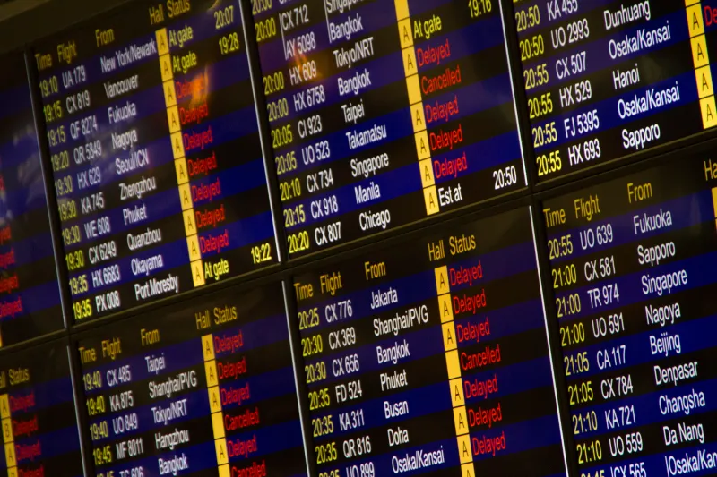
Transit routes do not fail gracefully. A visa rule changes on a Tuesday, an airspace closes on a Thursday, and the map that was accurate on Monday becomes a hazard by the weekend. For US-bound refugee routes, the temptation is to publish a fresh line as soon as movement is detected. A better practice is a before-and-after protocol that separates what changed from what is merely rumored, and that treats fresh route detail as sensitive until the disruption settles.
Start with a baseline, not a breaking-news map
A transit shutdown is only legible against a baseline. Before drawing a new route, document the old one: the transit points that were being used, the visa or transit rules in force, the flight connections that carried most movement, and the date on which each fact was last verified. This baseline should be public where it is safe, and internal where it is not. It should also be versioned, because the most common error in disruption mapping is comparing a new rumor to an old map without noticing that the old map was already stale.
As of November 2026, many US-bound routes through the Western Hemisphere depend on a fragile sequence of consular permissions, commercial flights, and border agency practices. A single policy change can redirect movement without producing a clean new corridor. The baseline tells you which parts of that sequence were load-bearing.
Build an event log before drawing a line
The first analytical product should be an event log, not a route map. Record policy announcements, airspace notices, visa suspensions, airline schedule changes, and official border statements with source links and timestamps. Separate official government sources from operational humanitarian updates and from social media reports. If a transit country changes visa rules, the event log should show the effective date, the implementing agency, and whether the rule applies to refugees, asylum seekers, or all foreign nationals.
Public flight data can help, but it is not a census of movement. Commercial schedules show what airlines intend to fly; they do not show who is on board or whether a connection is usable for a refugee with a specific document. Border statements may describe a closure without specifying exceptions. A responsible map should mark those gaps rather than fill them with inference.
Four confidence tiers for route change
A useful protocol assigns every claimed route change to one of four tiers. Tier one is a verified policy change with an official source and an effective date. Tier two is a verified operational change, such as a suspended flight or a closed border point, confirmed by more than one reliable source. Tier three is a plausible reroute inferred from policy and flight data but not confirmed by movement or reception reports. Tier four is anecdotal or social-media-only.
Only tiers one and two should normally appear on a public map during an active disruption. Tier three belongs in an internal analysis or a clearly labeled uncertainty layer. Tier four should not be mapped at all. The tiers protect against the most common failure mode in crisis mapping: a single report becomes a line, the line becomes a fact, and the fact becomes a planning assumption.
Publish less, explain more
During a disruption, the ethical pressure runs in two directions. Advocates want timely information to warn arrivals and service providers. But publishing precise new route detail can expose people to interception, extortion, or dangerous informal crossings. The safer practice is to publish aggregate change, not turn-by-turn directions. A map can show that a corridor is under stress, that a transit point has closed, or that reception capacity has shifted, without plotting informal staging areas or fresh crossing coordinates.
Delay is also a tool. If a route change is still active and unverified, a twenty-four- or forty-eight-hour publication delay may be appropriate. Redaction should be routine: remove small-cell counts, generalize locations to the municipal level, and withhold details that only a person on the route would need. The public map should answer the question, What changed for the system? It should not answer the question, Where exactly is movement happening right now?
Stale coordinates are an ethical problem
A stale coordinate is not a neutral error. In a transit shutdown, an old map can send someone toward a closed border, a suspended flight, or a checkpoint that no longer operates. Every layer should carry a last-verified date, and every public map should state the date of the underlying policy data. When a source cannot be reverified, the layer should be marked inactive rather than left to look current.
This is especially important for US-bound routes, where transit conditions can change faster than a weekly update cycle. A map that says verified on 1 November 2026 is more honest than a map that implies live accuracy. Researchers should also keep an internal changelog so that later analysis can distinguish a real route shift from a mapping error.
A checklist for the next shutdown
Before the next transit closure, establish the baseline, name the sources, and agree on the confidence tiers. When the disruption begins, log events before drawing lines, publish only verified change, and redact details that could endanger people. After the disruption, compare the before-and-after maps, document what the baseline missed, and retire stale layers. The goal is not to be first. The goal is to be useful without becoming a surveillance tool.