The Second Queue: Driver’s License Access as Refugee Settlement Infrastructure
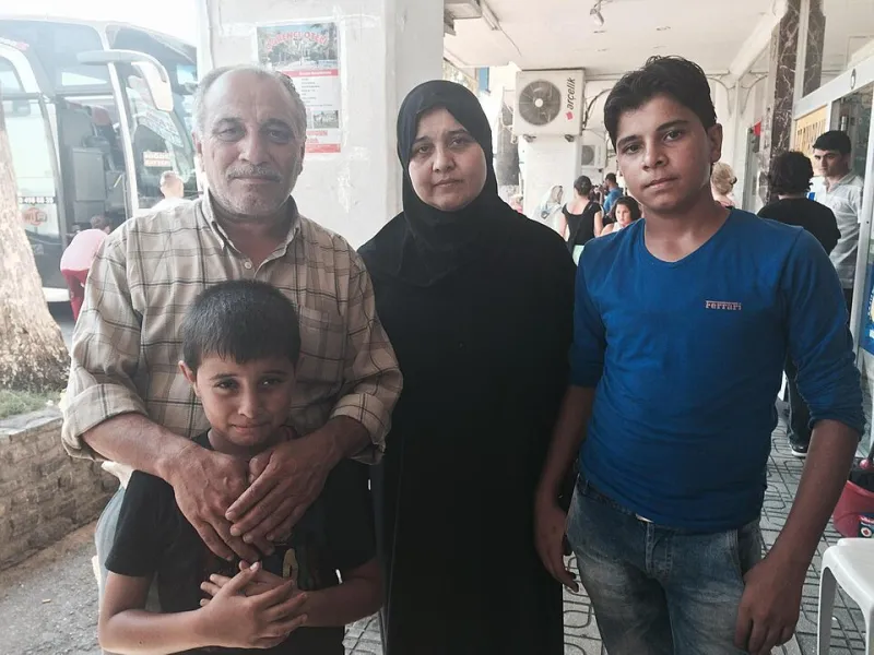
Photo: Mark Lowen, CC BY-SA 4.0, via Wikimedia Commons
Refugee settlement maps are good at counting arrivals and plotting first apartments. They are less good at the errands that make an arrival durable. One of those errands is the trip to the state motor vehicle office—not a single trip, but a sequence: gather documents, book an appointment, find a way to the office, pass the knowledge test, and return for a road test. For a newly arrived refugee in the United States, that sequence can decide whether a job offer is reachable, whether a child’s school run is feasible, and whether a medical appointment can be kept without asking a caseworker for a ride.
As of November 2026, the driver’s license remains an under-mapped integration layer. Resettlement dashboards routinely include housing, English classes, and employment placement. Fewer treat the Department of Motor Vehicles as infrastructure. That is a gap worth fixing—and one that can be fixed without turning a humanitarian map into a tracking tool.
Why the DMV belongs on the settlement map
A driver’s license is not only a transport credential. In many US states it is the most common form of photo identification used at banks, pharmacies, and government offices. It is also a work-authorization-adjacent document in practice: employers ask for it, shift schedules assume it, and rural and suburban job sites often assume a car. When the nearest DMV is far away, or the next appointment is weeks out, the settlement map is missing a queue that arrivals actually stand in.
The point is not that every refugee needs a car. It is that access to licensure is uneven, and uneven access has geographic shape. A settlement ZIP code can look well served on a transit map and still be a driver’s license desert if the local office closed, if appointments are scarce, or if the only counter that handles foreign documents is across a county line. Mapping that shape is the first step toward advocating for mobile services, translated scheduling, and better document guidance.
Four layers, not one
A useful DMV access map should not stop at distance. The first layer is physical: the road miles or transit minutes from a settlement ZIP code to the nearest office that issues standard licenses. The second is temporal: the wait for an appointment, not just office hours. A 12-mile drive to an office with a six-week queue is a different access problem from a 30-mile drive to an office with next-day slots. The third is linguistic: whether the office offers interpretation, translated forms, or a phone line in the languages arrivals speak. The fourth is documentary: whether the state accepts a foreign passport, a birth certificate, an I-94, or other immigration paperwork as proof of identity and lawful status, and how consistently local staff apply the rule.
These layers interact. A nearby office with no language support may be less accessible than a farther office with a multilingual counter. A state with generous document rules may still produce a desert if appointment slots are concentrated in urban centers and the settlement is suburban. A map that shows only pins and polygons will miss the queue.
The document-recognition bottleneck
The most consequential layer is often the least visible. Driver’s license rules are set by states, not by resettlement agencies, and the list of acceptable documents can be narrow or broad. For arrivals with limited paperwork, the difference between a state that accepts a foreign passport plus an I-94 and one that demands additional verification can be the difference between a license and months of delay.
This is where a humanitarian map must be careful. Document requirements change, and local practice can vary within a state. A national layer should therefore be versioned and dated, with a clear source for each rule. It should distinguish between what the statute says and what applicants report at the counter. It should not publish individual case details or route-level information that could be used to profile applicants. The goal is to map the administrative terrain, not to expose the people navigating it.
What a DMV desert audit should include
A reproducible audit can begin with public data. State DMV office locators provide addresses and, in some cases, hours and services. Appointment systems, where public, can be sampled over a fixed period to estimate wait times. Census and American Community Survey data can identify settlement ZIP codes and language concentrations. Resettlement agency arrival data, where available at aggregate level, can show where new arrivals are placed. None of these sources is perfect, but together they can support a first-pass map.
The audit should then add a document-rule table for each state, with dates and citations. It should flag offices that offer interpreter services or translated materials, and note where that information is only available by phone. It should calculate travel time by public transit and by car, because a straight-line distance can overstate access in metros with weak bus service. Finally, it should publish its limitations: appointment wait times are volatile, office hours change, and a ZIP code centroid is not a household.
Reading the map responsibly
A DMV access map is not a measure of need. It is a measure of friction. Some arrivals will not drive, some will live near a willing caseworker, and some will use employer-provided transport. The map should be read alongside settlement density, transit coverage, and employment geography. It should also be read with an ethical eye: the same layers that help advocates argue for mobile DMV services could, in other hands, be used to scrutinize applicants. Refugee Maps should publish aggregate patterns, protect small counts, and avoid any layer that identifies individuals or their immigration paperwork.
The second queue is not a metaphor. It is a real line, often outdoors, often early in the morning, often in a language the applicant does not speak. Putting that line on the map does not solve it. But it makes the gap visible—and visible gaps are easier to fund, staff, and fix.